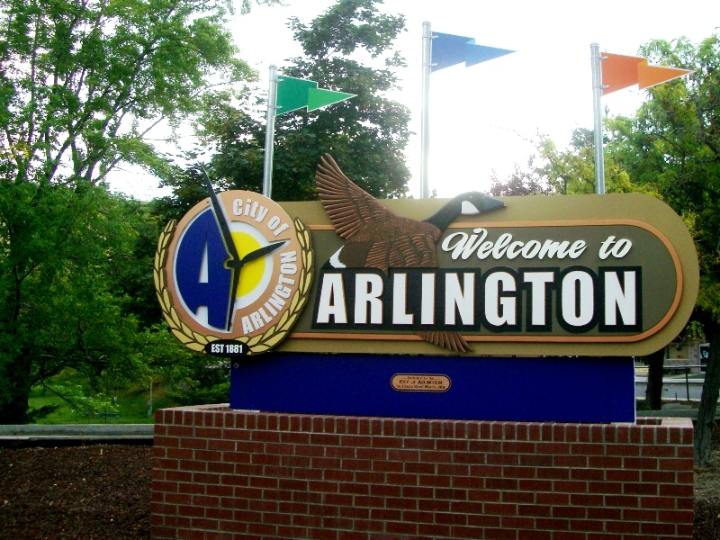
Arlington
Gilliam County, 97812, 97861
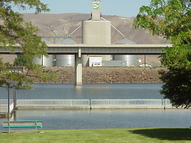
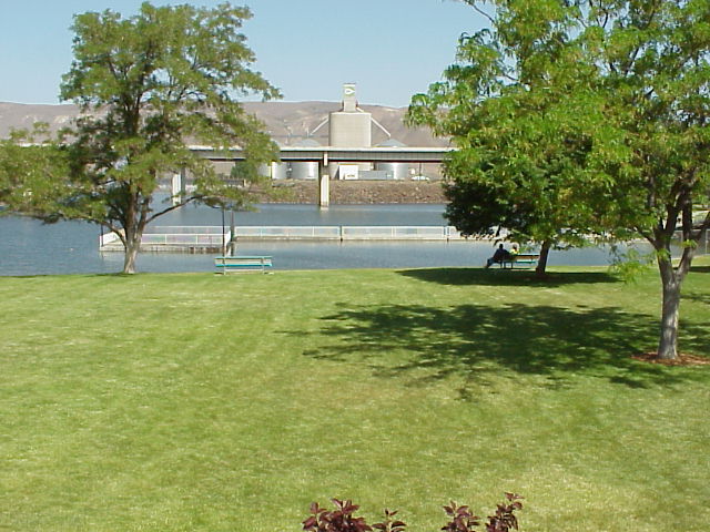
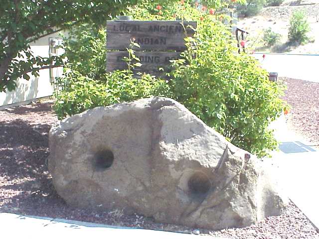
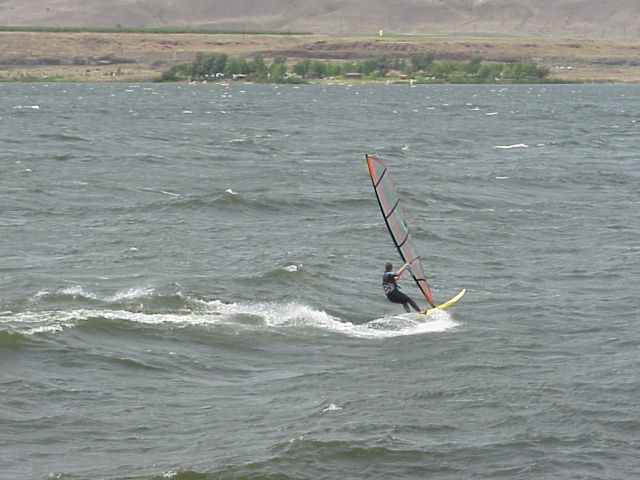
Arlington is nestled at the mouth of a large ravine which cuts from the Columbia river back into the Columbia plateau. This ravine and three others like it were cut when the Missoula floods over-spilled the south bank of the Columbia River. The town is a major grain shipping center and the towns architecture is dominated by massive grain elevators. Grain from the inland plateau region is loaded onto barges here for shipment downstream where it is loaded on to ocean freighters and sent around the world. The port authority maintains a very nice marina and park in the bay behind the elevators. This is a very windy area and often small pleasure boats can't go out to the river. What's out in the river anyway? Bass and walleye. Salmon and steelhead. Windsurfers. Arlington offers fuel, food, and rooms and is a popular break stop for I-84 traffic. When you stop be sure to check out the Indian grinding stone on the east side of the park parking lot. It is about 3 feet in diameter and has a hollowed out place in the side where the natives ground grain with a mortar. This area is in the Chinook tribal region and tribal lore and artifacts abound. The Chinook Jargon was the language used as trading groups came from throughout the northwest to trade with the people who lived in this abundant region. American sign language, used around the world, was born here of necessity. The Oregon trail passed through Arlington also before splitting at The Dalles with part of the pioneers rafting on down the Columbia and part of them taking the Barlow trail over Mt. Hood.